
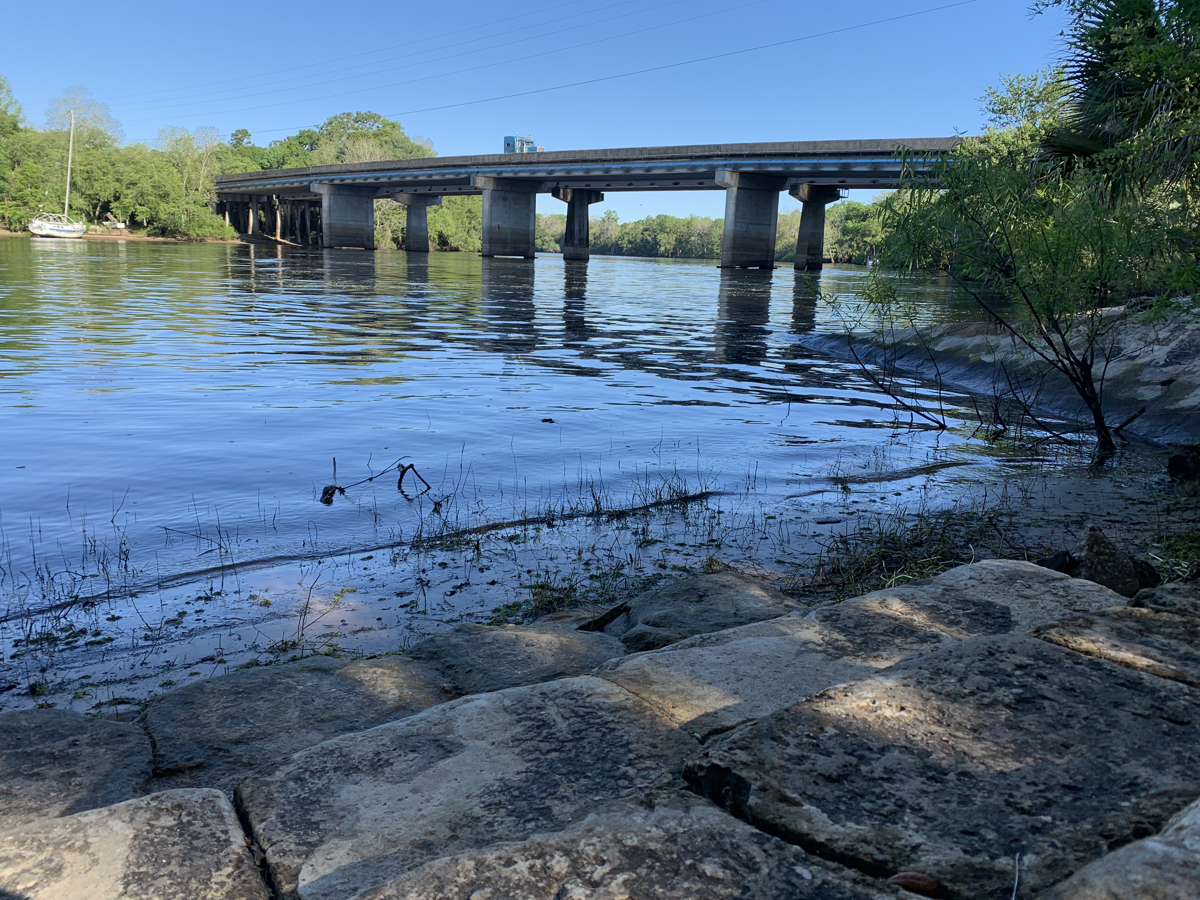
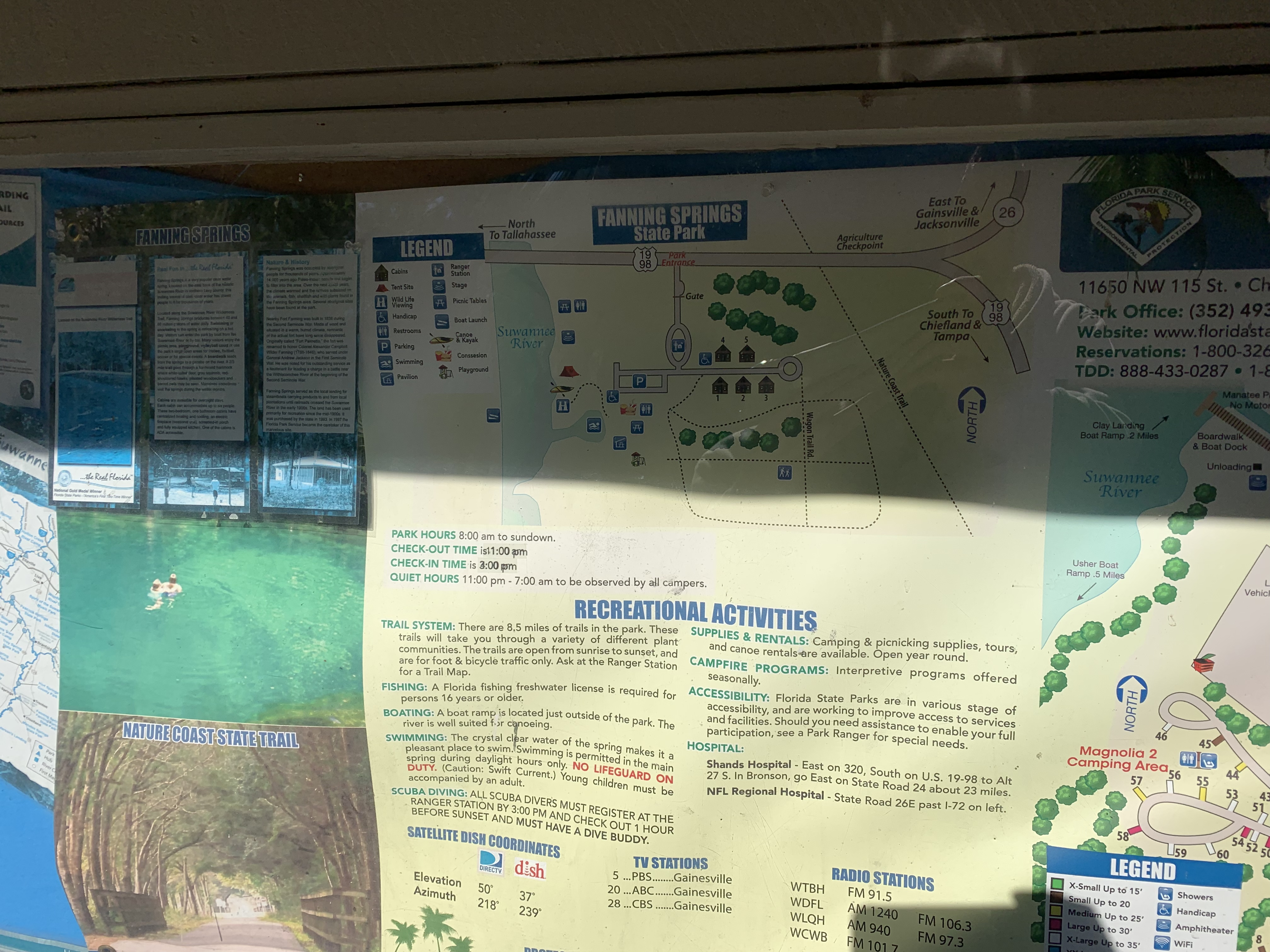
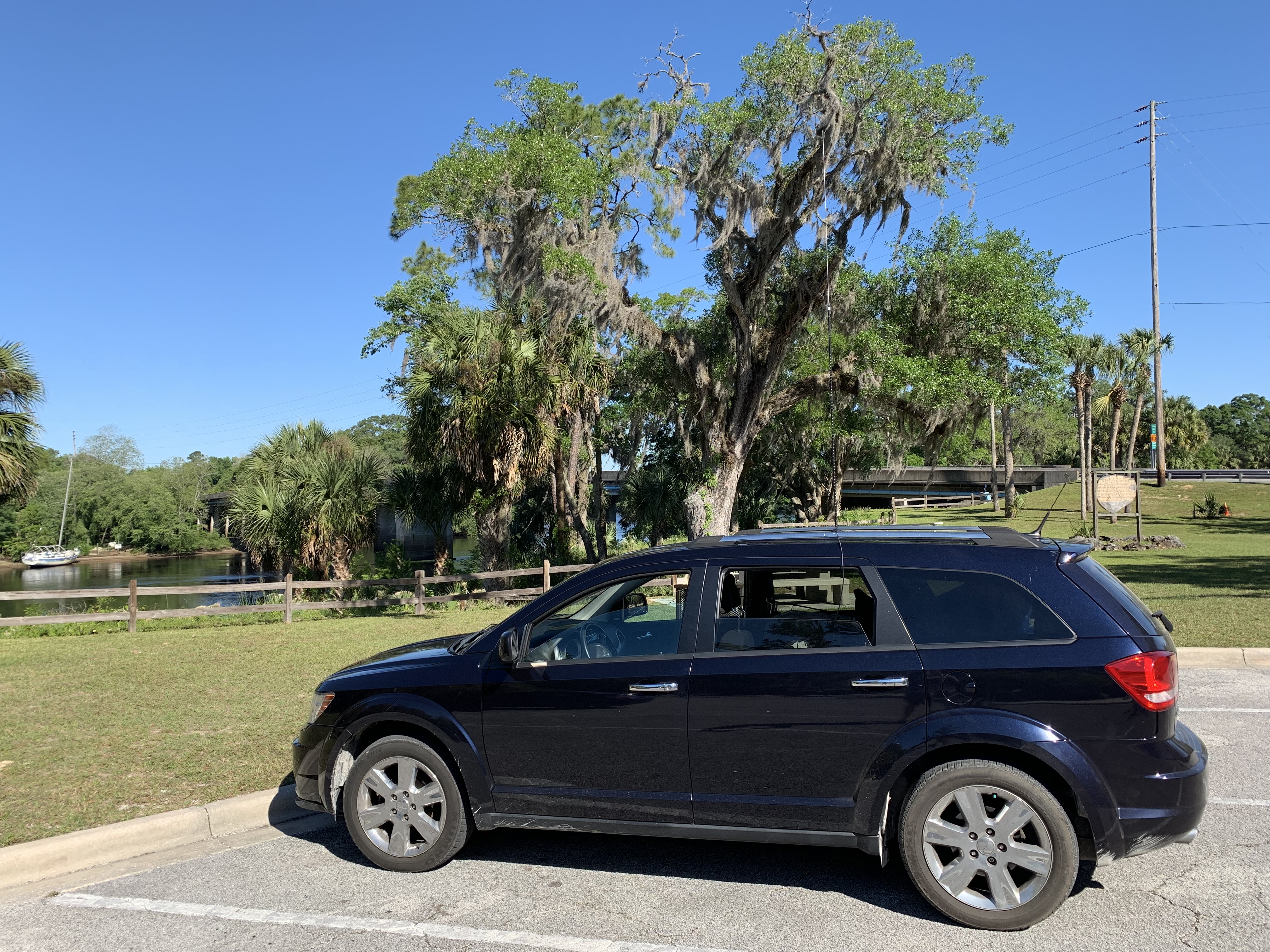
After Day 1, I recalculated my plan and decided to do 5 of the 9 parks I had planned. This would get me a 5 parks in one day RaDAR award. I started out at K-1865 Fanning Springs Sate Park’s picnic area on the river. I operated FT8 from the car here. It was a nice spot to start the days activations.
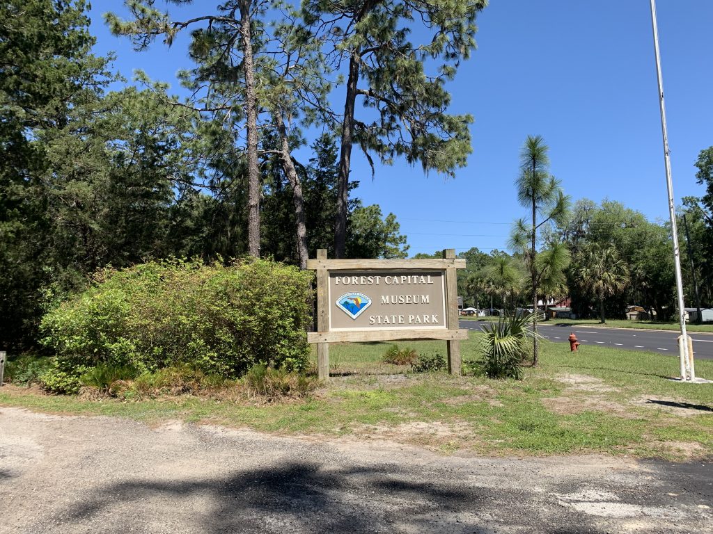
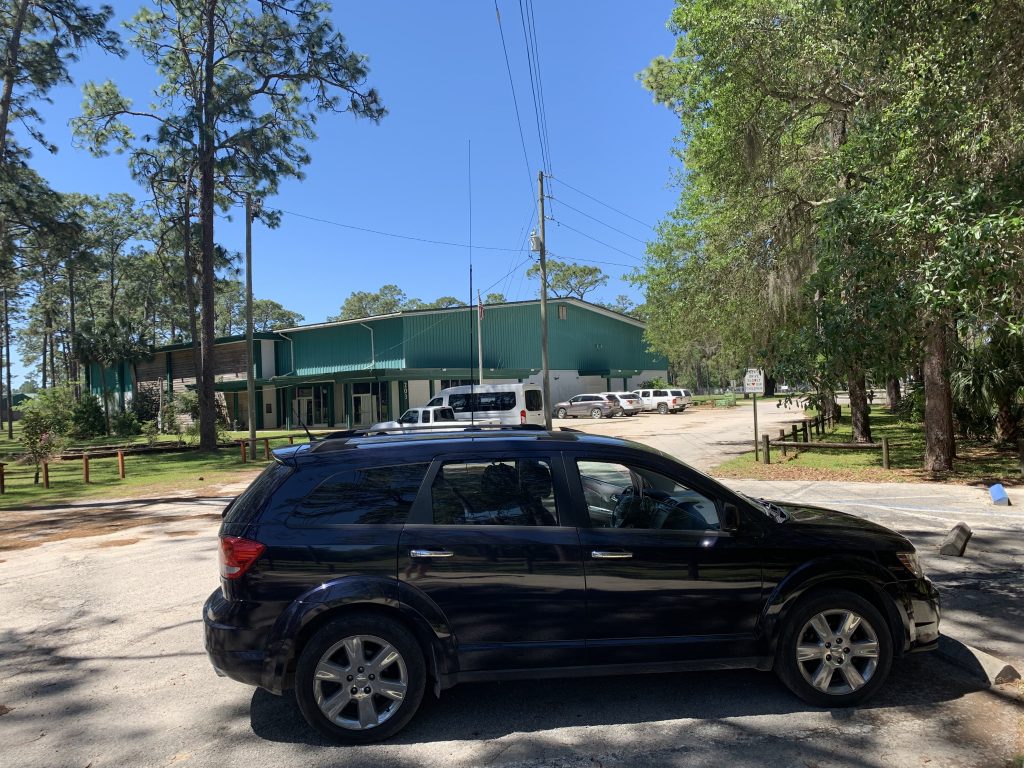
The next stop was the Forest Capital Museum State Park K-1868. This was the most boring activation of the trip.
After this was where this trip started getting really good. It was a bit of a drive but I headed into St. Marks National Wildlife Refuge K-0256.
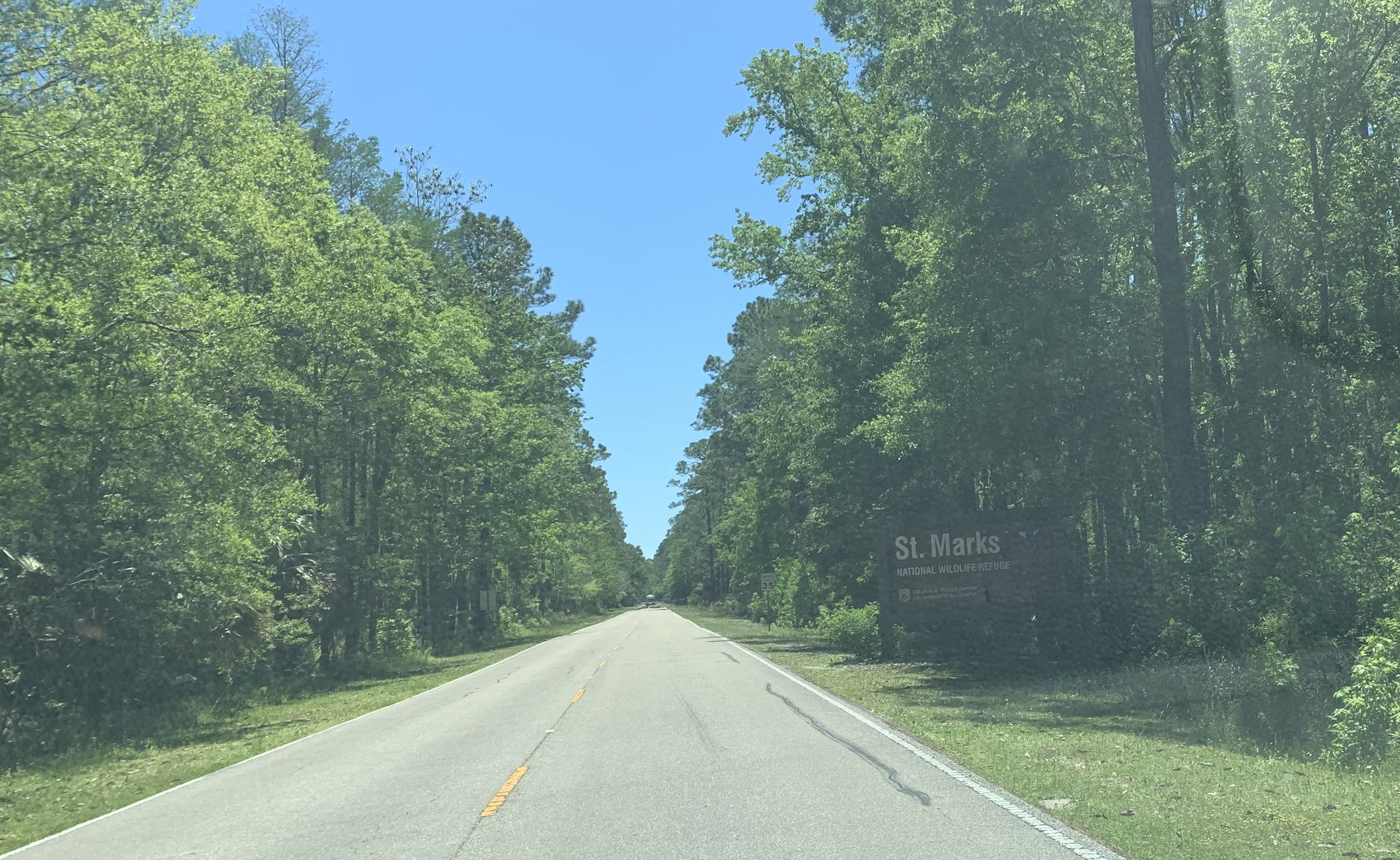
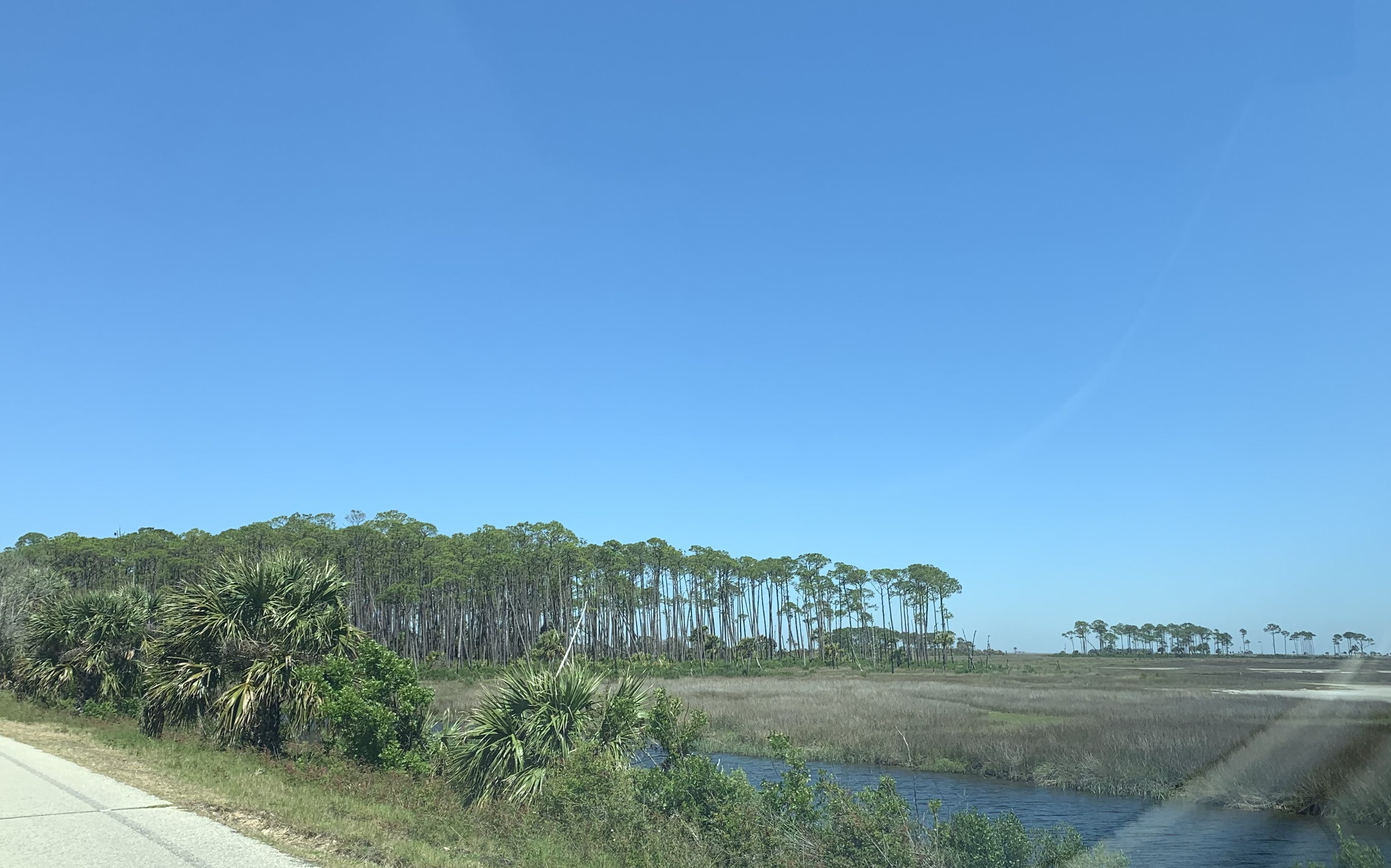
It’s about 9 miles of beautiful drive to get to the lighthouse.
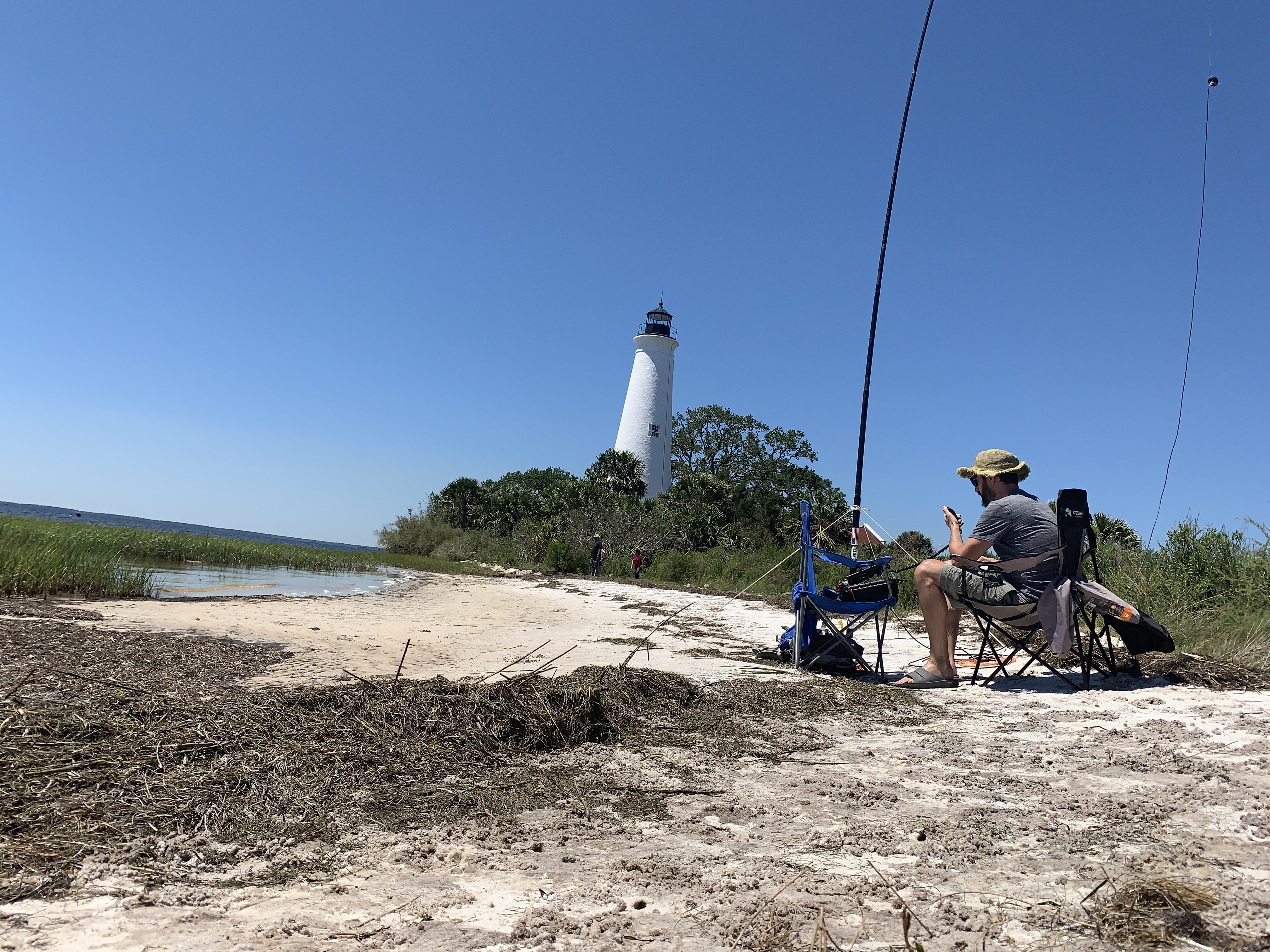
I found a great spot on the beach to activate.
After this I headed to Bald Point State Park. I just plugged it into the Waze app and followed the directions. I passed a road without any signs that Waze told me to go down. I turned around and went back down this road. Sure enough it was a park entrance. I paid the fee in the honor box and put the tag on my dashboard. I was quickly stopped by the ranger who just made a view of me as I pulled away from the honor box. He started to scold me for not paying but then saw my pass on the dash and thanked me then sent me on my way.
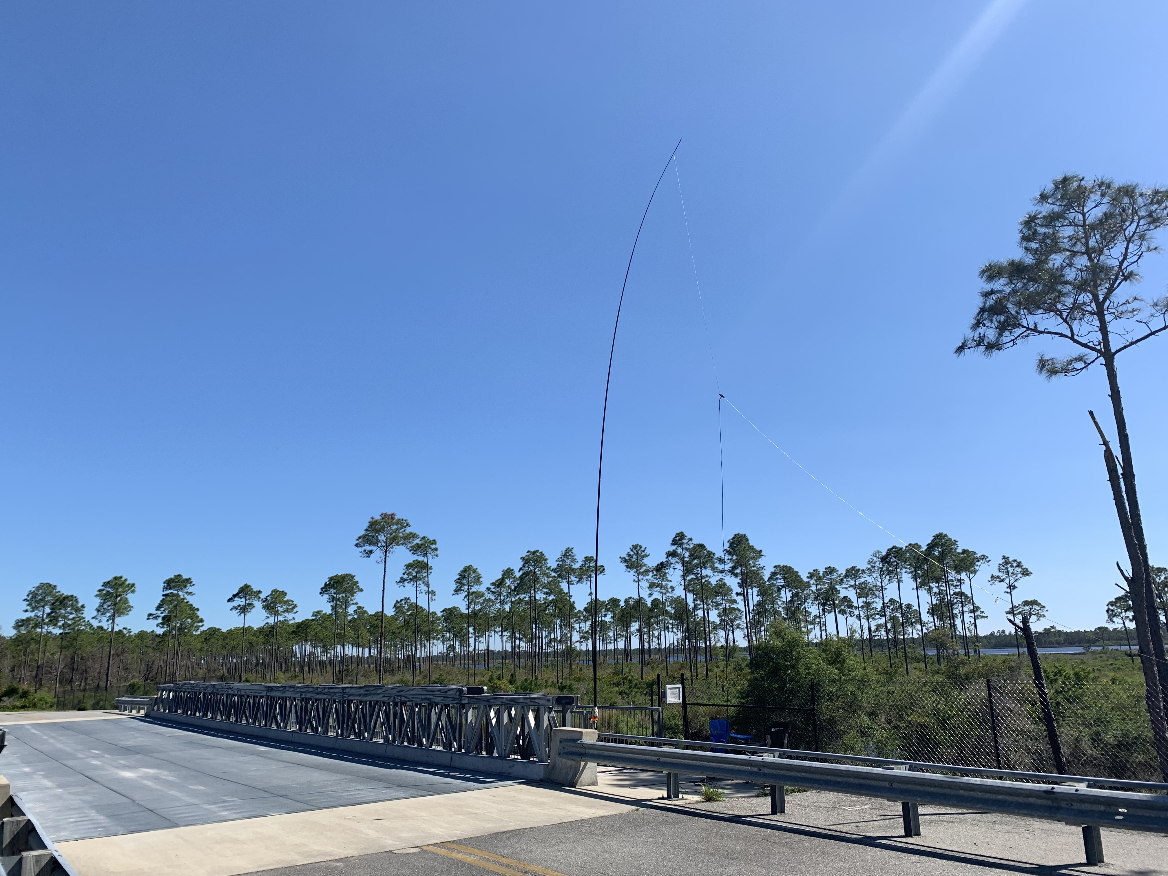
The road ends just past this bridge. I’m guessing this is for future expansion but it made for a good spot to activate. I didn’t see anyone else here. Personally I find it easier to activate without lookie-loo’s distracting me.
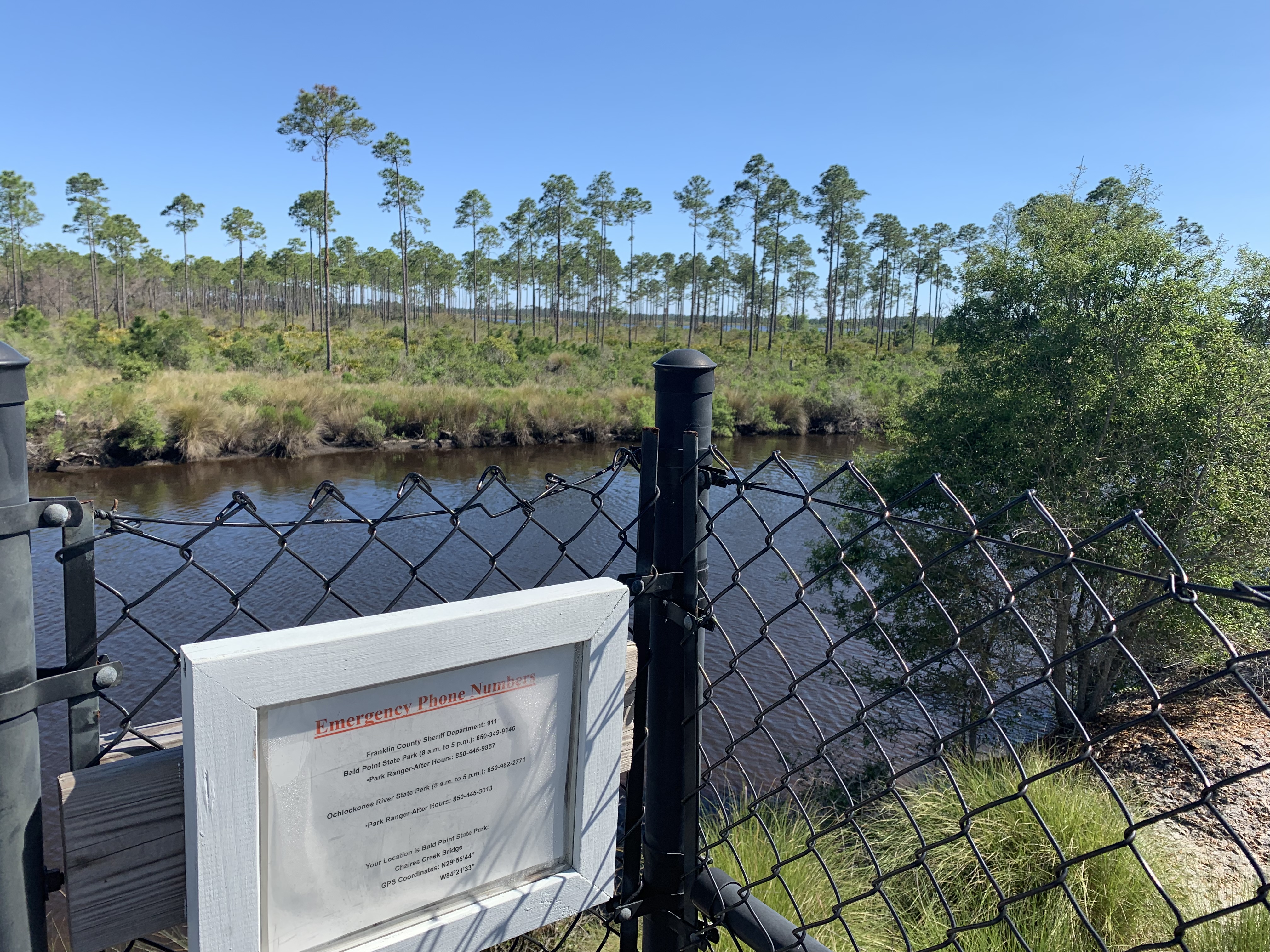
N29°55’44” W84°21’33”
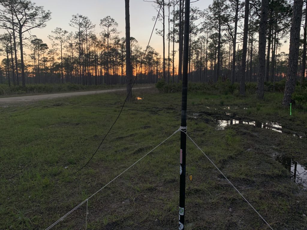
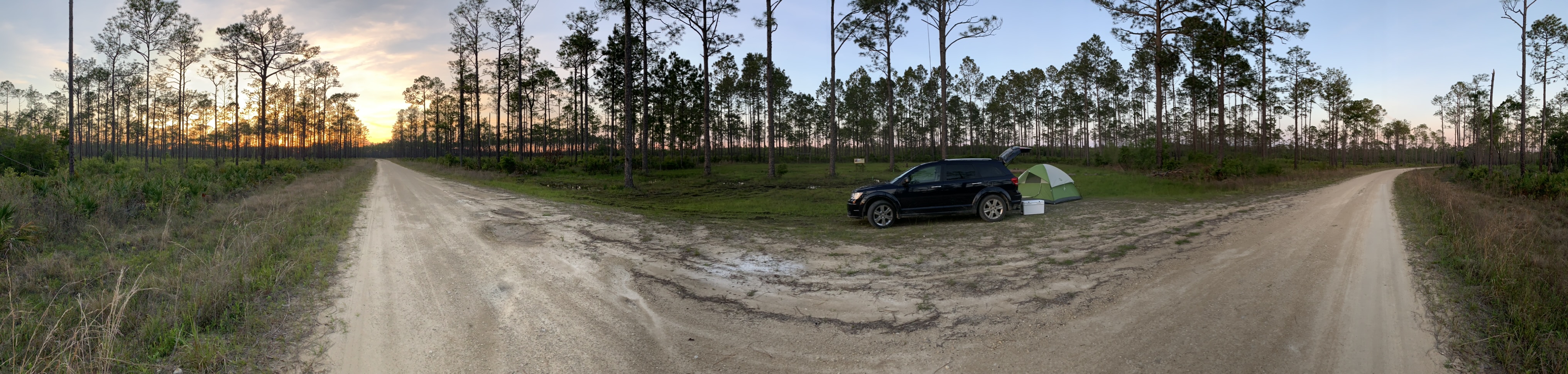
Tonight was a more adventurous camp spot, deep in the Apalachicola Nation Forest K-4470. I had the geo-coordinates for the spot as it doesn’t have an address. I plugged these into Waze but it didn’t have directions. So I put in the name of the spot, Twin Poles Hunt Camp and it worked. I also looked it up on Google Maps via geo-coordinates. This was a good idea as I ended up on a smaller road than how it looked on Google Earth when I planned this site. I kept on and went about 4 miles in through roads that were close to the limit of what my car can handle before I ended up at the Waze destination. This wasn’t correct. Luckily I Googled it earlier and it was still saved as I didn’t have cell service. After another couple miles on the secondary dirt road I found the primary dirt road the that site was on.
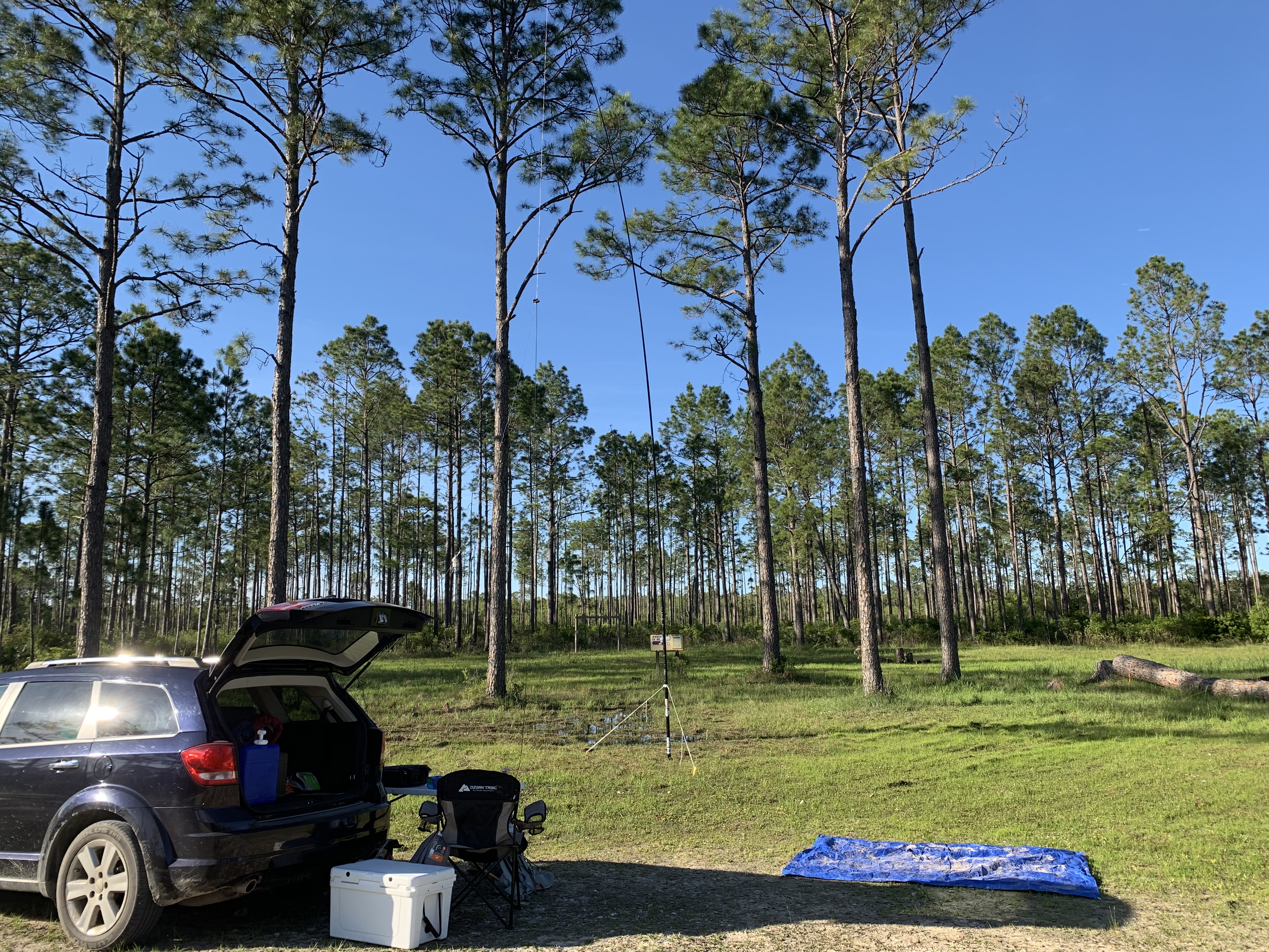
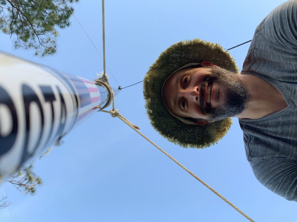
I setup the antenna and had no problem making contacts.
I switched to 40m and listened to people pileup on a YL in Europe, OE3LZA, while I made dinner.
The site had a pretty sunset.
1 thought on “April 2019 Parks on the Air adventure Day 2”